 Bunalens
Map every coffee plot,
even without a signal.
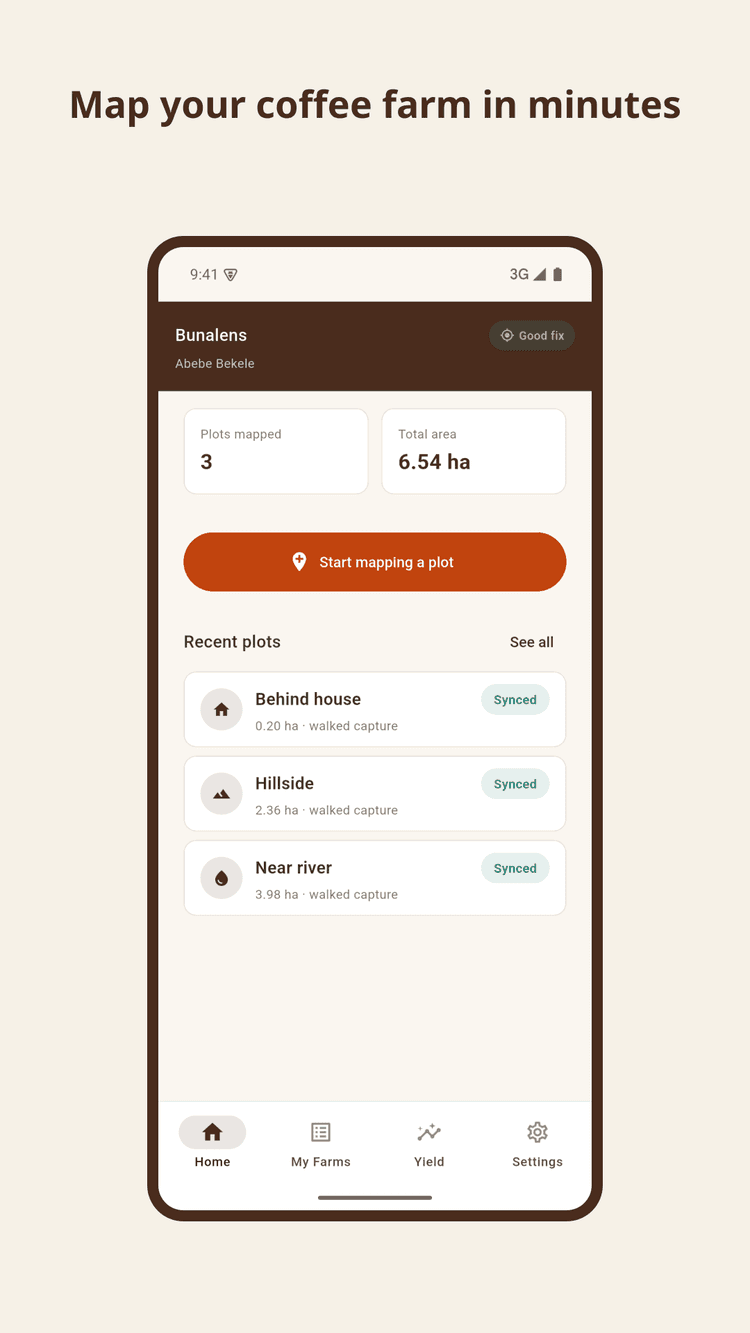
Bunalens helps farmers walk the boundary, measure the real area, and generate an EUDR-ready record – entirely offline, right from their phone.
Free · Works offline · No account needed to start mapping

Planted
Planted with care, on land that was never surveyed
Across Ethiopia's coffee-growing highlands, generations of smallholder farmers have tended small hillside plots - often less than half a hectare, passed down, divided, and replanted. The coffee is exceptional. The paperwork behind it, historically, has not existed at all.
Grown
Grown without a map
As the plants mature, the plot itself stays undocumented: its boundary known only by memory and the shape of the hillside, its size a rough guess, its location never recorded anywhere a buyer, cooperative, or regulator could check. Where there's no signal for days at a time, that isn't a small gap to close.
Mapped
Every plot has a story - Bunalens writes it down
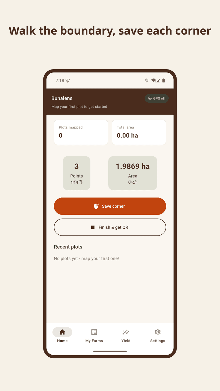
Walk the edge of the plot with a phone in hand, dropping a pin at each corner, and Bunalens draws the boundary as you go - entirely offline. No signal required until it's time to share what you've found.
Map offline, anywhere
Walk the boundary and drop each corner with GPS - no signal required. Everything saves to the phone instantly.
Accurate, real-world area
Area is calculated with a geodesic formula built for small, irregular smallholder plots, not a flat-earth approximation.
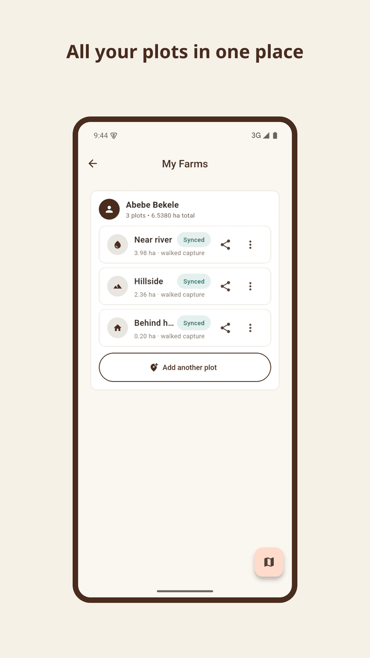
One farmer, many plots
Map every plot a farmer tends, tag each one, and keep a running record - all from a single profile.
Built for low connectivity
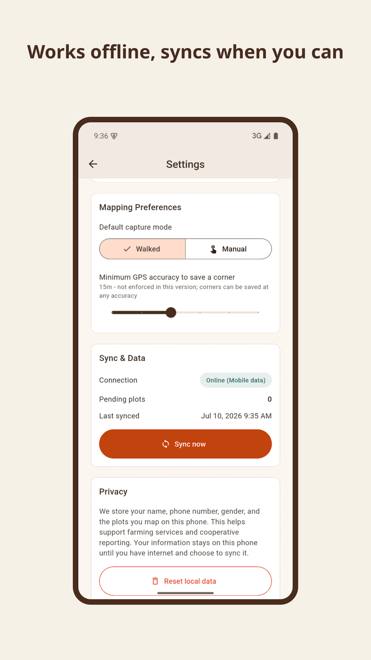
Farm and plot data syncs automatically the moment a connection is available. Nothing is lost while offline.
Ready
Ready for the world
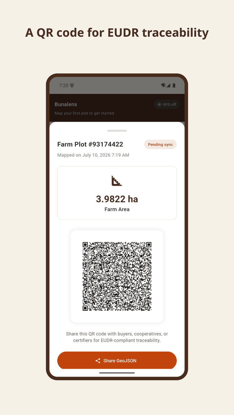
Once a plot is mapped, it's ready to travel. Bunalens turns every boundary into a shareable QR code and GeoJSON file - the exact geolocation record buyers, cooperatives, and certifiers need for EUDR-compliant sourcing, generated on the farmer's own phone, in the field.
Get Bunalens
Free, and built for the phones already in farmers' pockets.

Download
Install Bunalens from Google Play - it works the moment it's open, no account needed to start mapping.
Walk the boundary
Start mapping, walk the edge of the plot, and save each corner as you go.
Share the record
Get an instant area calculation and a QR code ready to share with buyers, cooperatives, or certifiers.
Get involved
Farmer, cooperative, exporter, or certifier - we'd like to hear from you.
Get updates
Not on Android yet, or want to hear about new features first? Leave your email.
Tell us what you need
Tell us what would make Bunalens more useful for you and your cooperative.